ITA
ITAThe Tuscany road of the wine
- Routes
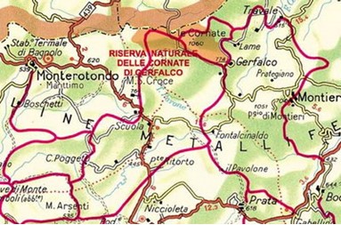
- Massa Marittima
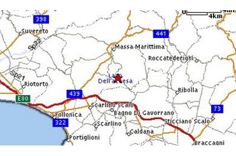
This wonderful route is 12 km long and can be covered on foot or by bicycle. It is not difficult, but people have to be a little trained, because there is a slope of 450 mt. The lake is about 30mt deep and has a particular colour due to its deep and clear water (It has an underground spring). This region is the centre of some important archaeological finds of the Etruscan age. THE ROUTE: it goes from Massa to a wide mining area in the surroundings. After the slope you have to go round Poggio al Santo and then to cross the mining areas of Capanne Vecchie and Serrabottini. Once you have reached Accesa lake and La Pesta, go towards the ruins of the Etruscan mining village. Trail signs n. 33 e 35.